Climate Black Box

The money arrives. The reports stop.

Climate projects are funded on a promise and judged on a final report. After that report, almost nobody looks again.

So we kept looking.

Every month, from orbit. The same satellites, the same method, the same site — long after the funding has been spent and the file has been closed.

Two forests in Kenya.

Both committed to holding their vegetation cover. We measured both with identical methods, from public Landsat data, for forty-five months.

One of them kept its promise.

Everything below this line is real: real satellite measurements, stored in Oracle, with every record independently verifiable. Keep scrolling.

↓ scroll

Kiambu Highlands

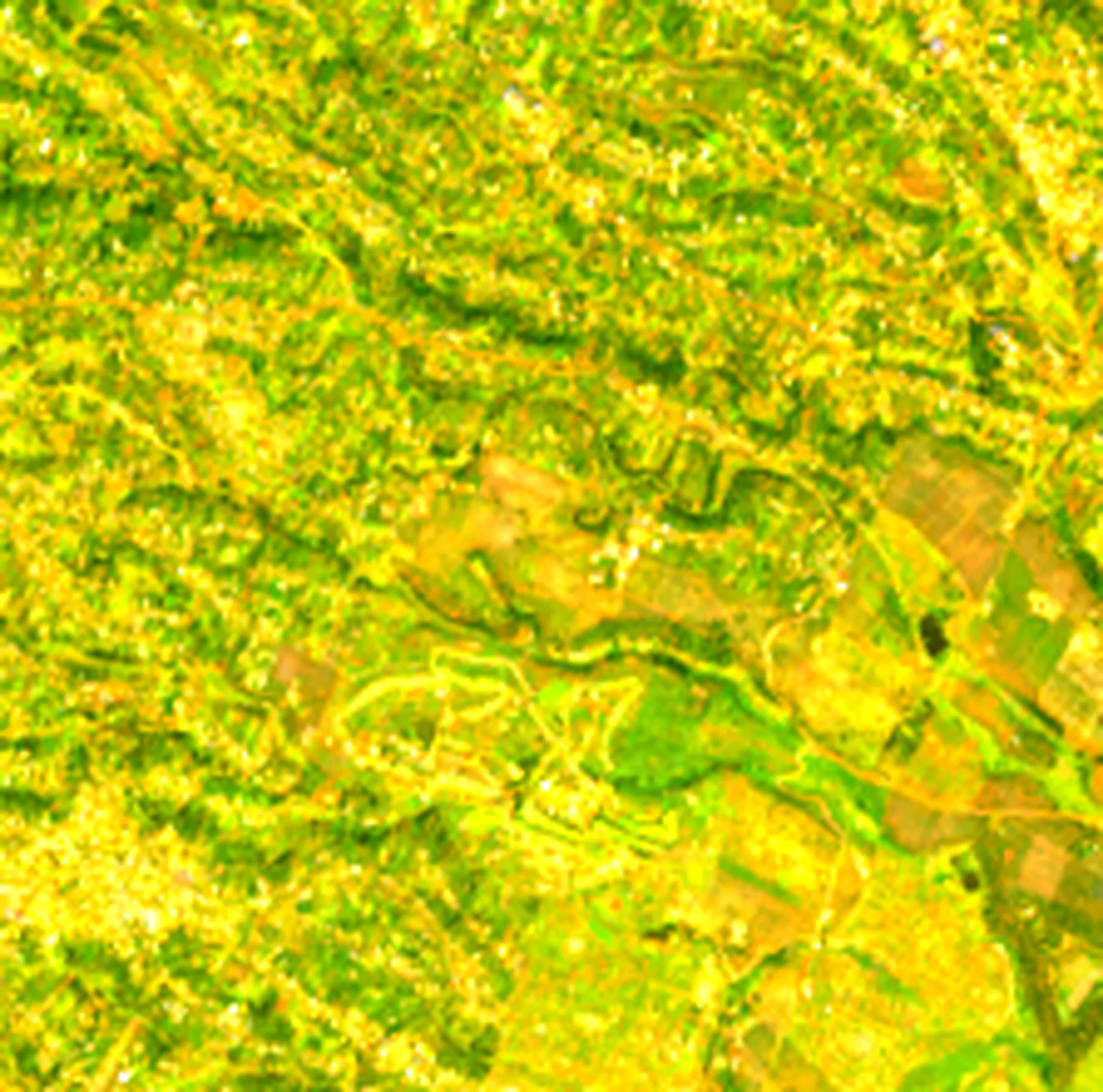
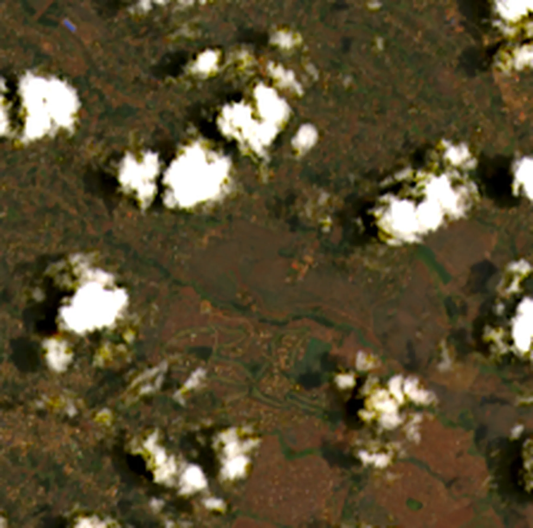
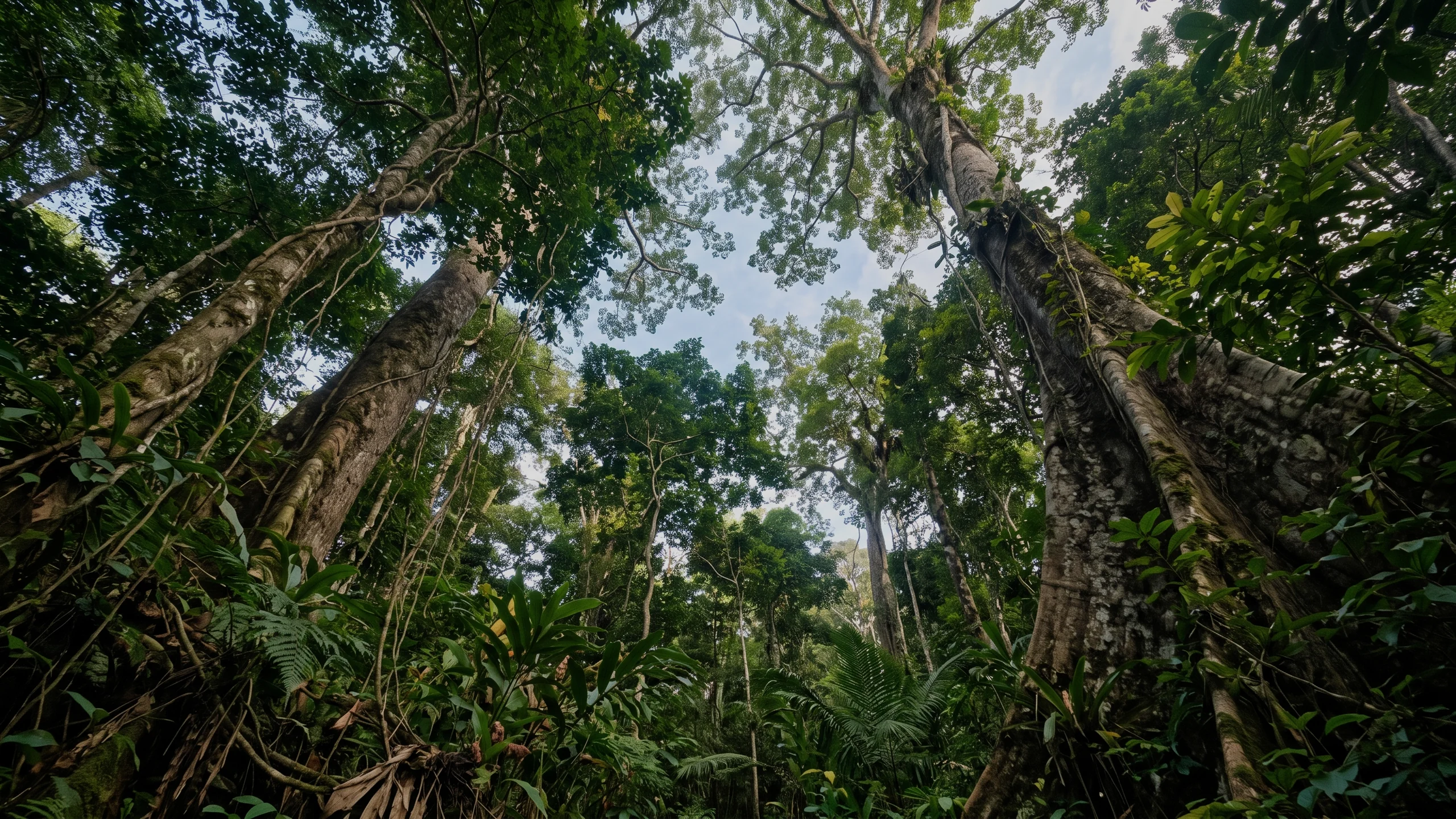
Three hundred hectares on the Kiambu highlands — the control. Same satellites, same method, same three years. This is what a site that held its cover looks like.

NDVI 0.67 across the frame
January 2023 — the start of the baseline window
LC09_L2SP_168061_20230119_02_T1 · 5.5% cloud

Landsat Collection 2 Level-2 · USGS · public domain

DEMONSTRATION · satellite observations and rainfall are real and traceable to public sources · the project, its commitment and any intervention are simulated

Climate Black Box

Now check it yourself.

Everything below is live. The measurements come from public satellite data, the records sit in Oracle Autonomous Database, and each one is committed to a public blockchain, so any later change to one shows up. Switch sites to see the same method reach a different answer.

Kiambu Highlands Forest Restoration (demonstration)

Simulated

Kiambu County, Kenya · approximate demonstration polygon, not a surveyed boundary

Observations
44
monthly periods
Usable
38
6 fully clouded
Source scenes
44
Landsat 8 / 9
Latest NDVI
0.558
2026-09
Commitment
0.55
by 2026-12-31

Baseline approved by L. Mugwanja (demonstration reviewer) on 2026-01-15 · extraction status approved
01 — Observe

Forty-five months of looking.

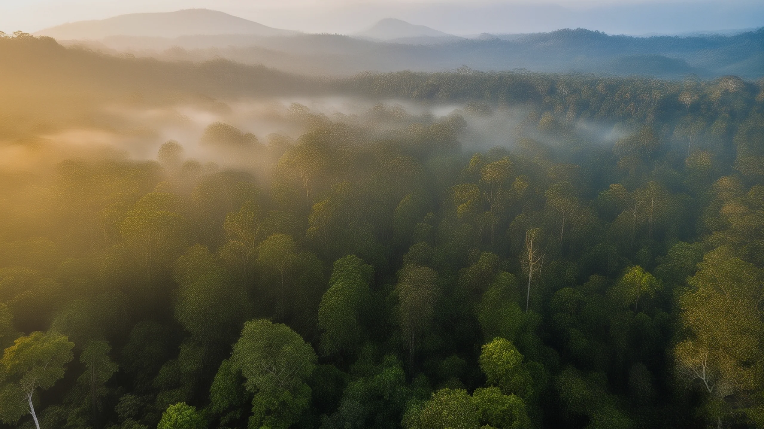
Every usable satellite pass over the site, for nearly four years — whether or not anyone was still reporting on it. Cloud and shadow are masked pixel by pixel, and a month we could not see is left as a gap rather than filled with a guess.

ILLUSTRATIVE IMAGERY · MEASUREMENTS COME FROM SATELLITE DATA

The measurement

Monthly mean NDVI across the project boundary, from Landsat Collection 2 Level-2 surface reflectance.

Hollow points fall below 75% valid pixels and are excluded from alerting. Dashed verticals are months with no usable observation — the line breaks rather than guessing across them.

Real measurement
0.30.40.50.60.70.80.92023202420252026
Hover any month for its source scene, value and pixel coverage. Hollow marks fall below 75% valid pixels. Dashed verticals are months with no usable observation — the line breaks rather than guessing across them.

The rule

Robust linear baseline over the approved window, a band of ±1.5 residual sigma, and divergence only after two consecutive periods below it.

A period under 75% pixel coverage can never raise an alert, and breaks the run rather than extending it — we cannot say a site was behind in a month we could not see.

No divergence detected

No divergence detected. The rule ran and stayed quiet. The same rule that fires on the Transmara site stayed quiet here. That is the result, not a missing feature — a detector that fires everywhere is worth nothing.

05 — Verify

Change one record and the check fails.

Each evidence record is hashed and committed to a public blockchain, every manifest carrying the hash of the one before it. Press Verify to check it against the chain — then press Tamper and watch the check fail.

Evidence chain

0 records · 0 anchored on CKB testnet.

Each manifest is hashed and committed on chain, carrying the hash of the one before it.

The chain is an application-level structure anchored on CKB. It is not enforced by an on-chain script, and we do not claim it is.

No evidence chain yet. Run scripts/build_evidence_chain.py.